Vegas looks easy to navigate from the airplane window: one long, glittering boulevard. Then you land, and suddenly you're comparing monorails, double-decker buses, trams, tunnels and rideshare zones. Don't worry. Getting around Las Vegas is simple once you know which tool fits which trip.
This guide walks you through every main option, from the Monorail and the Deuce bus to the free trams and plain old walking. To see where each resort sits before you choose a ride, start with our Las Vegas Strip map with every hotel in order, then come back here to plan how to move between them.
Prefer to look before you read? Spin the 3D map to see how the Monorail line, pedestrian bridges and resorts fit together.
Walking: Your Default on the Strip
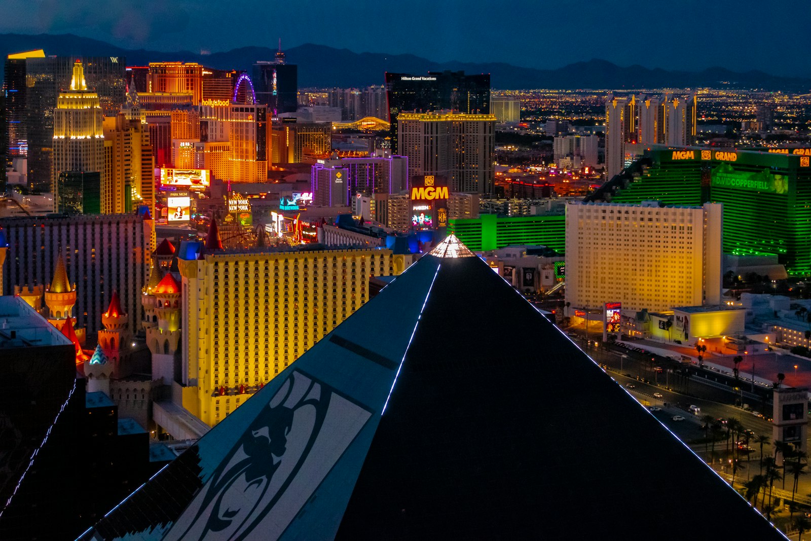
Walking is the best way to soak up the Strip, especially in the center zone between The Cosmopolitan and The LINQ. The catch is scale. The resorts are huge, so the hotel "next door" often takes several minutes to reach, and walking the full Strip from Mandalay Bay to The STRAT runs about 4.5 miles.
Our guide to Las Vegas Strip walking distances and times has estimated minutes between every pair of neighboring resorts. A few examples, as estimates at a relaxed pace: Bellagio to Caesars Palace is about 9 minutes, and Caesars Palace to Treasure Island is about 12.
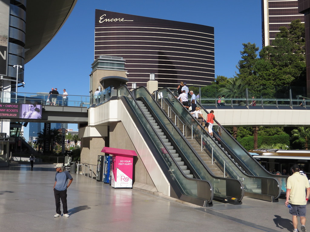
Use the pedestrian bridges at Tropicana Avenue, Flamingo Road, Spring Mountain Road and Sands Avenue, Harmon Avenue, and near Park MGM to cross the boulevard. In summer, walk early or late and cut through air-conditioned casinos whenever you can.
The Deuce Bus: Budget-Friendly and Running 24/7
The Deuce bus in Las Vegas is a double-decker run by the RTC, the regional transit agency. It runs up and down the Strip and on to Downtown 24 hours a day, stopping at points along Las Vegas Boulevard.
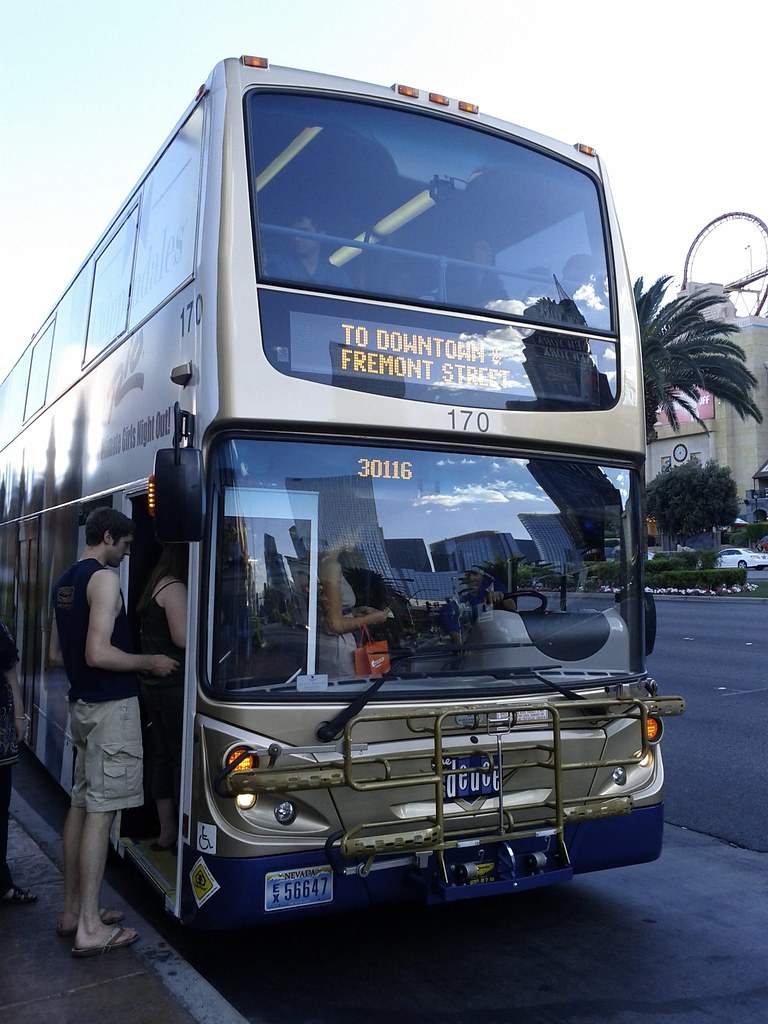
The Deuce can take longer than rideshare because it stops often and sits in the same traffic as everyone else. Still, it's a solid option for:
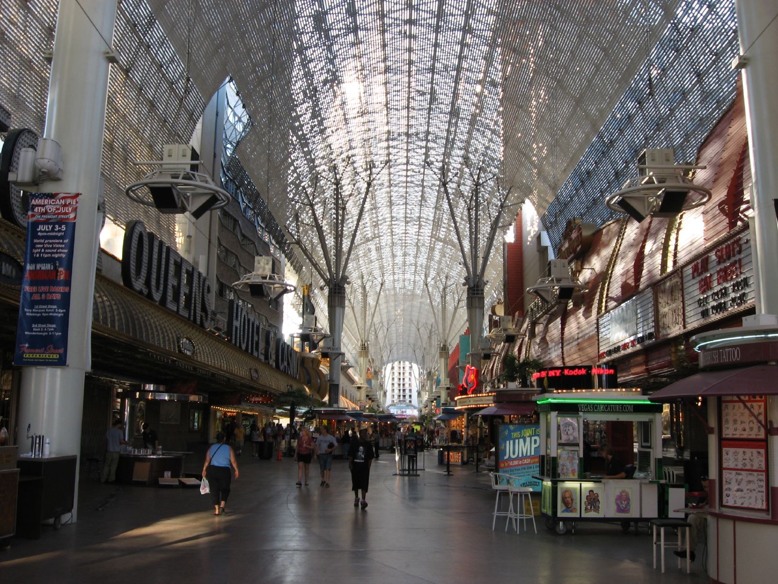
Getting to Downtown and Fremont Street without paying for a car.
Hopping between distant resorts, like the south Strip and the north Strip.
Late-night trips when you'd rather not walk.
Grab a seat on the top deck for some of the best people-watching in town. For current fares and pass options, check the RTC's official site.
The Las Vegas Monorail Map, Station by Station
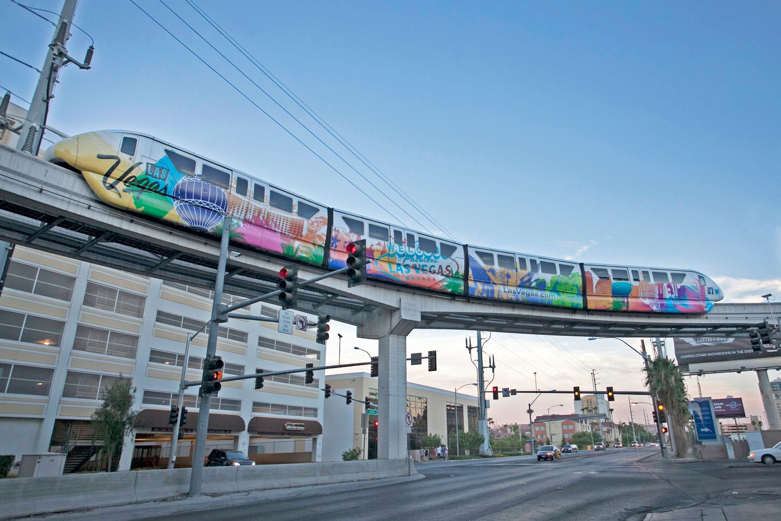
The Las Vegas Monorail is an elevated train that runs along the east side of the Strip, behind the resorts rather than on the boulevard. That detail surprises a lot of people: stations are usually tucked at the back of a property, so allow a few minutes to walk through the casino to reach the platform.
Here's the line, south to north, as a simple Las Vegas Monorail map.
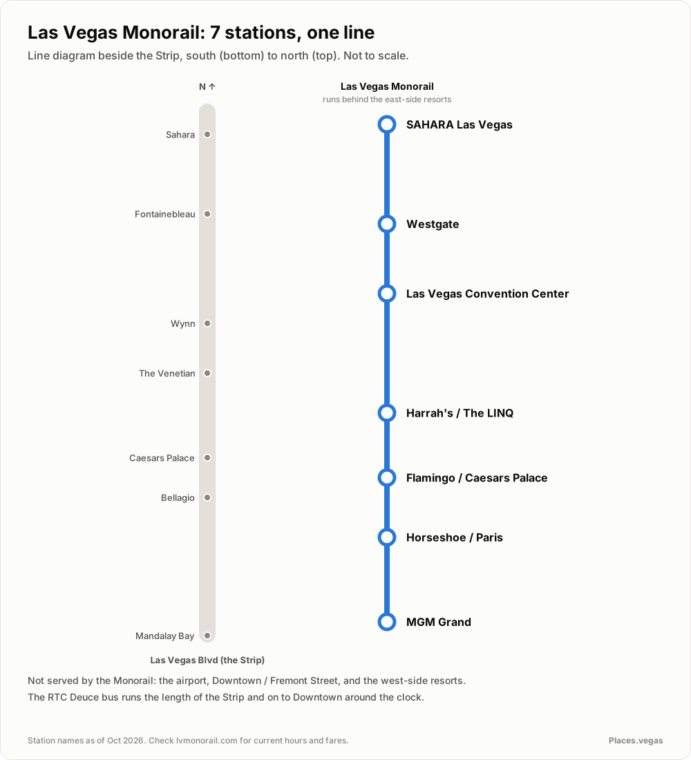
The seven stations are:
MGM Grand
Horseshoe / Paris
Flamingo / Caesars Palace
Harrah's / The LINQ
Las Vegas Convention Center
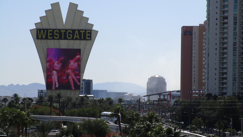
Westgate
SAHARA Las Vegas
When the Monorail makes sense
The Monorail shines for longer trips along the east side, like MGM Grand to The LINQ, or anywhere to the Convention Center during a trade show. It skips street traffic entirely, which is a big win on busy weekend nights.
When it doesn't
It doesn't go to the airport or Downtown, and it doesn't stop on the west side of the boulevard. If you're staying at Bellagio or Aria, you'll need to cross the street to reach a station. For fares, passes and operating hours, check the official Monorail site for current info.
Free Trams in Las Vegas
A few resorts run free trams in Las Vegas that connect their own properties.
Mandalay Bay, Luxor and Excalibur: A free tram links these three south Strip resorts. It's a great way to skip a hot sidewalk stretch.
Park MGM, Aria and Bellagio area: The ARIA Express serves the ARIA, Shops at Crystals, Bellagio and Park MGM area. Check MGM’s current operating hours and service status.
The Mirage and Treasure Island: Gone. The Mirage closed in July 2024 and is being rebuilt as Hard Rock Las Vegas (check current reopening status), and its tram went with it.
Trams are short, but they save your legs and keep you out of the sun on the south end.
Rideshare, Taxis and the Vegas Loop
Rideshare
Rideshare apps work well across the city, and every major resort has a designated pickup zone. Those zones are often in a parking garage or at a side entrance, not the main front door, so follow the signs as soon as you book. Surge pricing is common after big shows, concerts and nightclub closing times.
Taxis
Taxis line up at hotel taxi stands. You generally can't flag one down along the Strip, so walk to the nearest resort entrance with a taxi line. They're a good choice when rideshare surges or when you're traveling with a group and luggage.
The Vegas Loop
The Vegas Loop is a transport network operated by The Boring Company, with service at the Las Vegas Convention Center and selected hotels. Routes and operating hours vary; check the operator’s current station map and service information before planning a trip around it.
Getting To and From Harry Reid International Airport
Harry Reid International Airport sits just southeast of the Strip, which makes it one of the most convenient big-city airports in the country. The Monorail doesn't go there, so your main choices are rideshare, taxi, shuttle or a rental car.
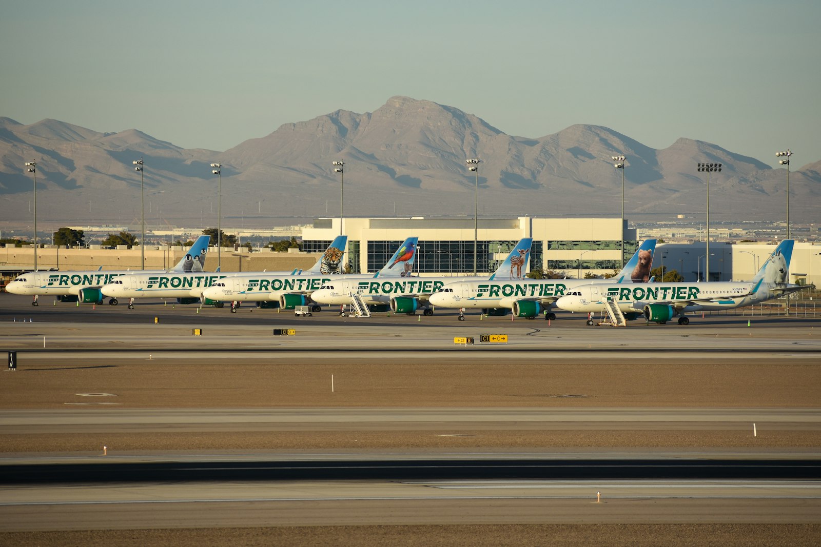
Rideshare and taxi pickups have their own marked areas at each terminal, and the drive to most Strip resorts is short when traffic cooperates. If you're renting a car, keep in mind that many resorts charge for parking, so check current policies before you book.
Which Option Fits Your Trip
Here's a quick comparison to help you choose.
| Option | Best for | Reaches Downtown? | Reaches the airport? |
|---|---|---|---|
| Walking | Exploring one Strip zone | No | No |
| Monorail | Long east-side hops, conventions | No | No |
| Deuce bus | Budget trips, late nights | Yes | No |
| Free trams | South Strip resort hopping | No | No |
| Rideshare or taxi | Speed, groups, off-Strip spots | Yes | Yes |
Heading to Fremont Street? Downtown is about 10 to 20 minutes from the center Strip by car, and our Downtown Las Vegas and Fremont Street guide covers what to do once you're there. If you're stitching several days together, our 3-day Las Vegas itinerary shows how to group stops so you spend less time in transit.
Plan Your Rides on the Map
The fastest way to decide how to get around is to see it. On the interactive map, you can:
Find your hotel and see which side of the boulevard it's on.
Spot the nearest Monorail station or free tram stop.
Check the pedestrian bridges you'll use for crossings.
Compare the locations, then check a current walking route or transit planner for the actual journey.
A few minutes of planning on the map can save you hours of wandering, and a few blisters too.
What is the best way to get around Las Vegas?
For most visitors, a mix works best. Walk within one zone of the Strip, use the Monorail for longer hops along the east side, and take rideshare or a taxi for the airport, Downtown and off-Strip spots. The Deuce bus is a good budget option that runs along the Strip and to Downtown around the clock.
Does the Las Vegas Monorail go to the airport?
No. The Monorail runs along the east side of the Strip from the MGM Grand station to the SAHARA Las Vegas station, with stops at the Convention Center and Westgate. It does not reach Harry Reid International Airport or Downtown, so use rideshare, a taxi or a shuttle for those trips.
Are there free trams in Las Vegas?
Yes. A free tram links Mandalay Bay, Luxor and Excalibur on the south Strip. The ARIA Express serves the Park MGM, ARIA, Shops at Crystals and Bellagio area; check current operating hours and service status. The tram between The Mirage and Treasure Island is gone, since The Mirage closed in July 2024.
Does the Deuce bus run 24 hours?
Yes. The RTC's Deuce bus runs along the Strip and to Downtown 24 hours a day. It stops frequently, so allow extra travel time compared with a direct ride, but it is a handy, budget-friendly way to reach Fremont Street or hop between distant resorts. Check the RTC's official site for current fares and pass options.
Do you need a car in Las Vegas?
Not if you're staying on or near the Strip. Walking, the Monorail, the Deuce and rideshare cover most trips. A rental car makes sense if you plan day trips to Red Rock Canyon, Valley of Fire or Hoover Dam. Many resorts charge for parking, so check current parking policies before you book.
Sources & checks
- Monorail Stations
The Las Vegas Monorail runs a 3.9-mile route with 7 stations.
Checked: 2026-10-06 - About the Las Vegas Monorail
The Las Vegas Monorail carries nearly 5 million passengers a year.
Checked: 2026-10-06 - LVCVA research FAQs: 2025 statistics
Harry Reid International Airport recorded 54,988,547 arriving and departing passenger movements in 2025, not unique visitors.
Checked: 2026-10-06 - 2025 Las Vegas Visitor Profile Study
In 2025, 47% of Las Vegas visitors arrived by air and 53% by ground.
Checked: 2026-10-06 - Las Vegas Monorail stations
Seven stations on the east side of the Strip; no airport or Downtown station.
Checked: 2026-10-06 - Deuce route and timetable
August 2026 route: Strip and Downtown service operates 24 hours daily.
Checked: 2026-10-06 - Resort transportation
ARIA Express and Mandalay Bay/Luxor/Excalibur tram connections.
Checked: 2026-10-06