Every first-timer says the same thing on day one: "It looked so close on the map." A Las Vegas walking distance map fixes that problem before your feet do. The resorts on the Strip are so massive that a hotel that seems one block away can take ten minutes or more to reach, and that's before you find the right escalator.
This guide gives you estimated walking times between neighboring resorts, explains where the pedestrian bridges are, and shares a few local habits that make walking the Las Vegas Strip far more pleasant. For the full lineup of resorts on both sides of the boulevard, keep our Las Vegas Strip map with every hotel in order open in another tab.
You can also spin the 3D map to see how the towers, bridges and walkways fit together before you lace up.
How Long to Walk the Strip, Start to Finish
From Mandalay Bay at the south end to The STRAT at the north end is about 4.5 miles. At an easy pace of roughly 2.5 to 3 miles per hour, with bridges, escalators and crowds slowing you down, the full walk takes about 2 hours without stops.
Almost nobody does it that way, though. You'll wander into lobbies, stop for photos at the Bellagio fountains, and get distracted by a gelato counter. Realistically, walking the whole Strip is an all-day project, and in hot months it's not one we'd recommend in a single go.
A better approach is to walk one zone at a time:
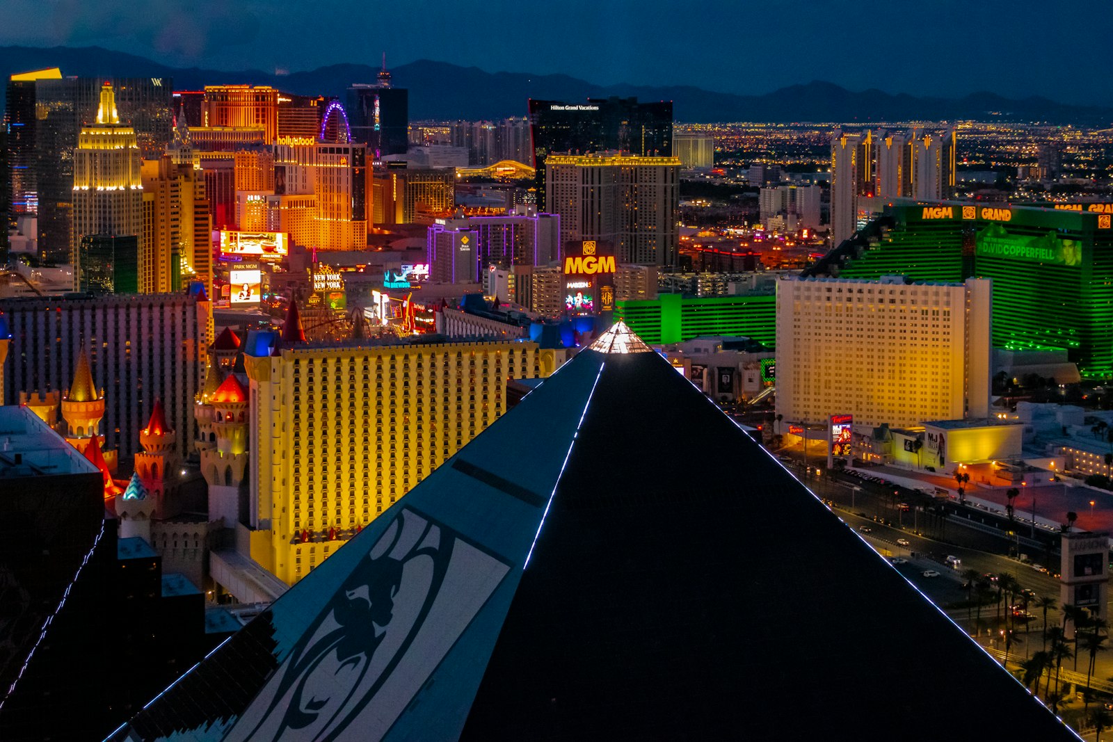
South Strip: Mandalay Bay to New York-New York, with a free tram as backup.
Center Strip: Park MGM to The LINQ, the most walkable and most rewarding stretch.
North Strip: Treasure Island to the Sahara, where gaps between resorts grow longer.
Estimated Walking Times Between Neighboring Resorts
The chart below shows estimated walking minutes between neighboring resorts, south to north. Use it as a planning guide rather than a stopwatch.
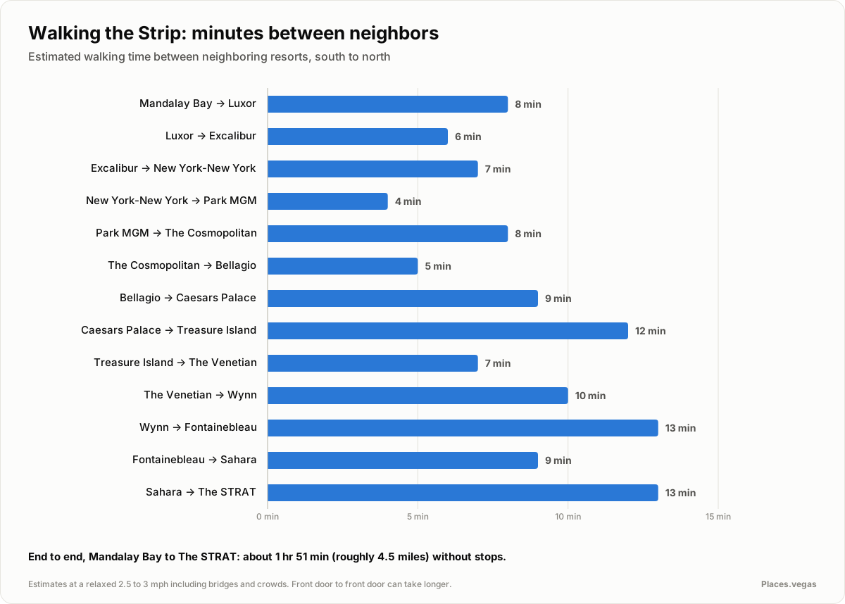
Here are the same estimates in a table. These are editorial planning estimates, not timed or accessibility-verified routes. Entrances, crossings, queues and walking pace can change the journey substantially. They don't include the walk from the entrance to your room, restaurant or showroom, which can add several minutes inside a big resort.
| From | To | Estimated walk (minutes) |
|---|---|---|
| Mandalay Bay | Luxor | 8 |
| Luxor | Excalibur | 6 |
| Excalibur | New York-New York | 7 |
| New York-New York | Park MGM | 4 |
| Park MGM | The Cosmopolitan | 8 |
| The Cosmopolitan | Bellagio | 5 |
| Bellagio | Caesars Palace | 9 |
| Caesars Palace | Treasure Island | 12 |
| Treasure Island | The Venetian | 7 |
| The Venetian | Wynn | 10 |
| Wynn | Fontainebleau | 13 |
| Fontainebleau | Sahara | 9 |
| Sahara | The STRAT | 13 |
A few things jump out. The south and center stretches are packed tight, so short hops add up to a lot of sights. North of The Venetian, gaps get longer, and the stretch from the Sahara to The STRAT is mostly sidewalk without much to look at.
Using the Strip Pedestrian Bridges
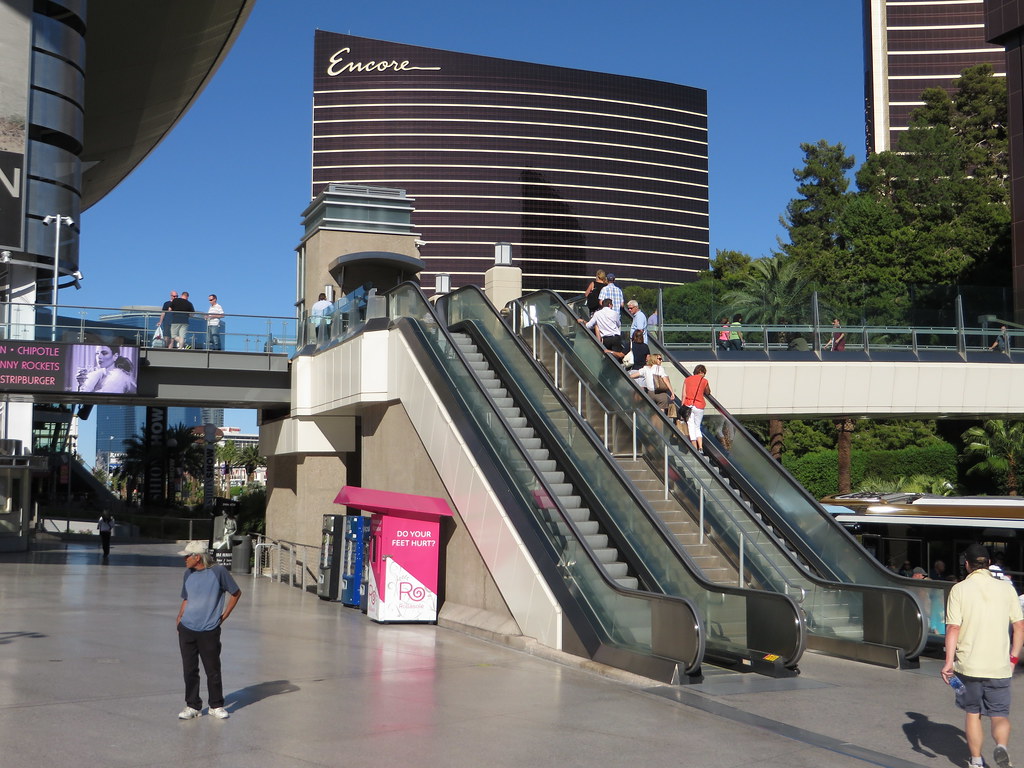
You can't simply jaywalk across Las Vegas Boulevard, and you wouldn't want to. At the busiest intersections, strip pedestrian bridges carry you over traffic. Most have escalators and elevators at each corner, although some are occasionally out of service, so look for signs.
The main bridge clusters are at:
Tropicana Avenue, connecting New York-New York, MGM Grand, Excalibur and the former Tropicana site.
Park MGM area, linking the Park MGM side of the street with the east side near the Showcase Mall.
Harmon Avenue, near The Cosmopolitan and Planet Hollywood.
Flamingo Road, the big four-corner crossing between Bellagio, Caesars Palace, Horseshoe Las Vegas and The Vanderpump Hotel.
Spring Mountain Road and Sands Avenue, connecting Treasure Island, Fashion Show mall, The Venetian and The Palazzo side of the street.
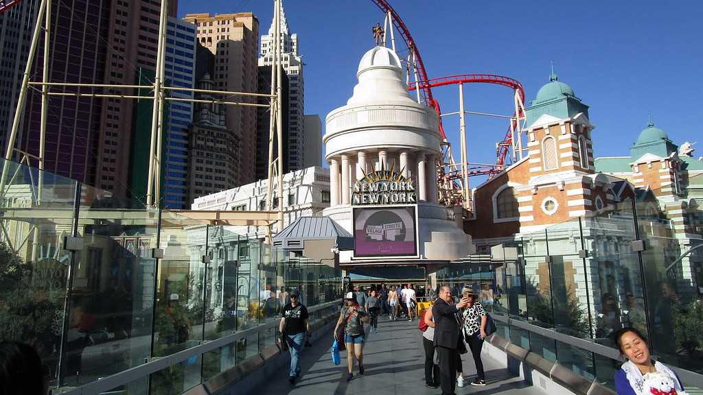
Bridges add time, but not much
Each bridge adds a few minutes of up and down, which is already baked into the estimates above. Where there's a street-level crosswalk, it can sometimes be faster, but on busy nights the bridges usually keep you moving better than waiting for a light with a few hundred other people.
Walking the Las Vegas Strip by Zone
South Strip: Mandalay Bay to New York-New York
The first three resorts on the west side, Mandalay Bay, Luxor and Excalibur, are connected by indoor walkways and a free tram. If it's hot, ride the tram for one leg and walk the rest. From Excalibur, the Tropicana Avenue bridges take you to New York-New York or across to MGM Grand.
Center Strip: Park MGM to The LINQ
This is the heart of walking the Las Vegas Strip. From Park MGM, you pass CityCenter, The Cosmopolitan and Bellagio, then cross Flamingo Road to Caesars Palace. On the east side, Paris Las Vegas, Horseshoe, The Vanderpump Hotel, Flamingo and The LINQ sit shoulder to shoulder, so you can loop up one side and back down the other.
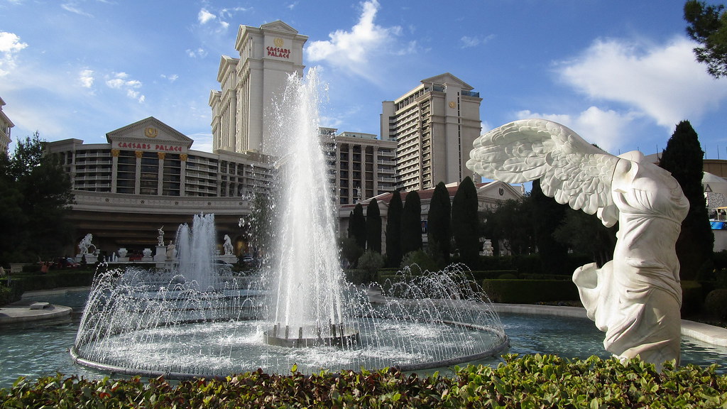
Caesars Palace deserves its own warning. The frontage is long, and the Forum Shops and casino floor sprawl deep into the property, so set aside extra time if you're heading somewhere specific inside.
North Strip: Treasure Island to The STRAT
Between Caesars Palace and Treasure Island, you'll pass the former Mirage, which closed in July 2024 and is being rebuilt as Hard Rock Las Vegas (check current status). Its volcano and the Mirage to Treasure Island tram are gone, so you'll walk this stretch on the sidewalk. North of The Venetian, resorts like Wynn, Encore, Fontainebleau and Resorts World sit farther apart, and many visitors switch to rideshare or the Monorail here.
Beat the Heat While You Walk
Las Vegas walking is a very different sport in July than in April. Average highs run around 105 degrees in July, and the pavement makes it feel hotter. Our guide to the best time to visit Las Vegas breaks down the weather month by month if you're still choosing dates.
When it's hot, these habits help:
Walk early or late. Mornings and evenings are far more comfortable than midday.
Go through, not around. Many resorts connect through casino floors and shopping corridors, giving you air-conditioned shortcuts.
Carry water. Refill whenever you can, and drink before you feel thirsty.
Dress for sun. A hat, sunglasses and sunscreen make a real difference.
Know your limits. If you feel dizzy, nauseated or overheated, get indoors and cool down right away.
When to Stop Walking and Ride Instead
Walking is the best way to soak up the Strip, but it isn't always the smartest. If your next stop is more than two or three resorts away, or it's the middle of a summer afternoon, it's time to ride.
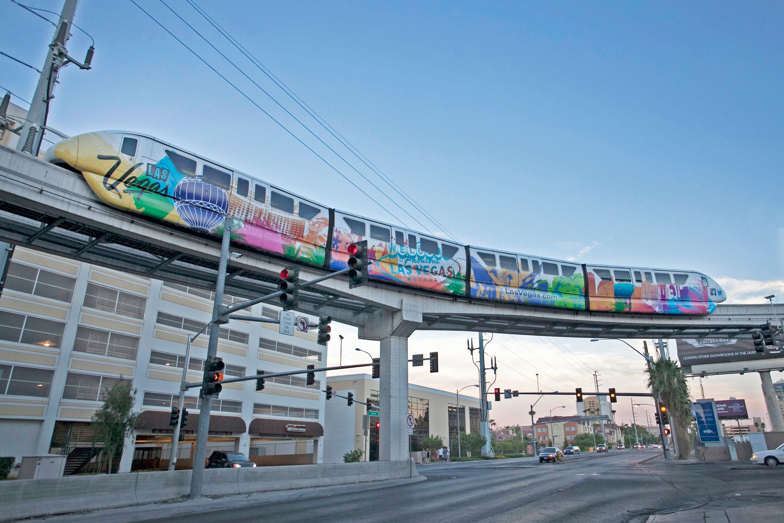
The Las Vegas Monorail runs along the east side behind the resorts, the Deuce bus runs up and down the Strip around the clock, and rideshare pickup zones sit at every major hotel. Our guide to getting around Las Vegas by Monorail, rideshare and on foot compares all of them. Plenty of the Strip's best freebies sit within easy walking distance of each other, too, and our list of free things to do in Las Vegas makes a great walking route on its own.
Plan Your Walk on the Map
Before you head out, take five minutes with the interactive map. It's the easiest way to turn these estimates into a route that fits your day.
Find your hotel and the places you want to visit.
Note which side of the boulevard each one is on.
Spot the nearest pedestrian bridge for every crossing.
Add up the estimated minutes, then add a cushion for indoor walking.
If the total feels long or the forecast is hot, swap one leg for the Monorail, the Deuce or a rideshare.
With a plan like that, you'll spend less time wondering why Paris is "right there" and still twenty minutes away, and more time enjoying the walk.
How long does it take to walk the entire Las Vegas Strip?
Walking from Mandalay Bay to The STRAT covers about 4.5 miles and takes roughly 2 hours at an easy pace without stops, once you add bridges, escalators and crowds. In practice, most people spread it over a day or two, because they stop to explore resorts, eat, and duck inside to cool off.
Is the Las Vegas Strip walkable?
Yes, in sections. The center Strip, from The Cosmopolitan to The LINQ, is very walkable, with lots to see in a short distance. The full length is a long haul, especially in summer heat. Most visitors walk one zone at a time and use the Monorail, Deuce bus or rideshare for longer jumps.
How long does it take to walk from Bellagio to Caesars Palace?
Plan on roughly 9 minutes between the two front entrances, as an estimate. You'll cross Flamingo Road using the pedestrian bridges or crosswalk at the intersection, and Caesars Palace is large, so reaching a specific restaurant or theater inside can add several more minutes.
Where are the pedestrian bridges on the Las Vegas Strip?
The main pedestrian bridges sit at the big intersections: Tropicana Avenue, Flamingo Road, Spring Mountain Road and Sands Avenue, Harmon Avenue, and near Park MGM. They connect the corners of each intersection, with escalators and elevators at most landings. Check signs on site, since some get closed for maintenance.
Is it safe to walk the Strip in summer?
It can be dangerous in the middle of the day. Average July highs are around 105 degrees, and the sidewalks radiate heat. Walk early in the morning or after dark, carry water, wear sun protection, and cut through air-conditioned casinos whenever you can. If you feel dizzy or nauseated, get indoors and cool down.
Sources & checks
- Proposed Clark County ordinance could prevent stopping on Las Vegas Strip pedestrian bridges
KLAS reported 15 Strip pedestrian bridges in November 2023; this is a historical count, not a current inventory.
Checked: 2026-10-04 - Ordinance New Chapter 16.13 Pedestrian Flow Zones
A 2023 Clark County proposal estimated bridges at about 6% of public sidewalk length on the Strip.
Checked: 2026-10-06 - Tropicana Avenue Pedestrian Bridges Open Tomorrow (December 2017)
NDOT reported roughly 130,000 daily pedestrians on the Tropicana/Las Vegas Boulevard bridges in December 2017; this is historical, not a 2026 count.
Checked: 2026-10-06 - The Vanderpump Hotel grand opening
The Vanderpump Hotel opened in June 2026, replacing The Cromwell.
Checked: 2026-10-06